
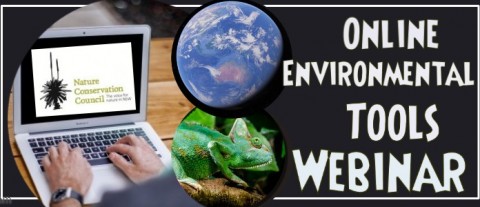
This series of training videos is designed to provide training to individuals in the use of several online tools, to support NCC representatives on Bush Fire Management Committees, volunteers, staff and interested individuals.
In May this year, the Bushfire team at Nature Conservation Council hosted a training webinar to demonstrate how to use a host of websites that are useful for people working in an environmental field. The resources produced from this training include three videos available below.
About the webinar
NCC ecologist Mark Graham began by outlining 7 major environmental online tools, their ease of use, why they might be relevant to particpants’ work, features of the sites and challenges in using them. The main tools discussed are: BioNet, SEED, Atlas of Living Australia, PlantNet, OEH Threatened Species, Six Maps and Google Earth.
Then Deyarne Plowman, a biodiversity information systems representative from the Office of Environment and Heritage, went into greater depth about the ideas behind the data portal BioNet NSW, and how the website can be used to download species sightings and systematic surveys.
Evelyn Chia, NCC Bushfire Program Coordinator, provided a demonstration on how to import NPWS fire history data on to Google Earth Pro and what features and data layers are present within the datasheet.
Finally Mark Graham provided a demonstration on how to download data from NSW Globe and into Google Earth Pro, where he looked at the different boundaries and layers within the data sheet and provided further useful illustrations.
Kevin Taylor, who is an NCC Ecologist working with the Hotspots Fire Project, provided expert knowledge, commentary and answers throughout the session. Participants were able to interact with the facilitators and each other via text ‘chat’ throughout this live presentation.
Watch the training videos here
Learn how to upload your species sightings to NSW BioNet with OEH’s Deyarne Plowman (starts 9:25). NCC ecologist Mark Graham also provides an introduction to a range of other online tools. This the first one of three videos in a training webinar series hosted by NCC.
Learn how to view NSW National Parks and Wildlife Service fire history data for public land in Google Earth Pro. NCC’s Bushfire Program coordinator Evelyn Chia walks us through the steps involved.
Learn how to view NSW Globe data sets in Google Earth Pro, including topographic, land tenure and land and parcel properties data. NCC ecologist Mark Graham talks us through the steps involved.
Links
Our collection of training videos, including five extra videos from 2018, can be accessed here: https://vimeo.com/showcase/5239314
Websites used in our training videos:
- BioNet – http://www.bionet.nsw.gov.au/
- Google Earth – https://www.google.com/earth/
- Google Earth Pro (download) – https://www.google.com/earth/versions/#earth-pro
- Spatial Information Exchange (Spatial Services Portal) – https://six.nsw.gov.au/
- SIX Maps – https://maps.six.nsw.gov.au/
- NSW Globe (a data layer for Google Earth) – http://globe.six.nsw.gov.au/
Websites mentioned in our training videos:
- SEED portal – https://www.seed.nsw.gov.au/
- NPWS Fire history data set via the SEED portal –https://datasets.seed.nsw.gov.au/dataset/fire-history-wildfires-and-prescribed-burns-1e8b6
- Atlas of Living Australia – https://www.ala.org.au/
- PlantNET – http://plantnet.rbgsyd.nsw.gov.au/search/simple.htm
- OEH Threatened Species – https://www.environment.nsw.gov.au/threatenedSpeciesApp/


